West Wide Energy Corridor Final PEIS: Federal Land and Resource Management Plans to be Amended
State-level base maps of proposed Section 368 energy corridors that show Section 368 corridors and the BLM, DoD, NPS, and USFS land and resource management plans to be amended, in Adobe Acrobat format.
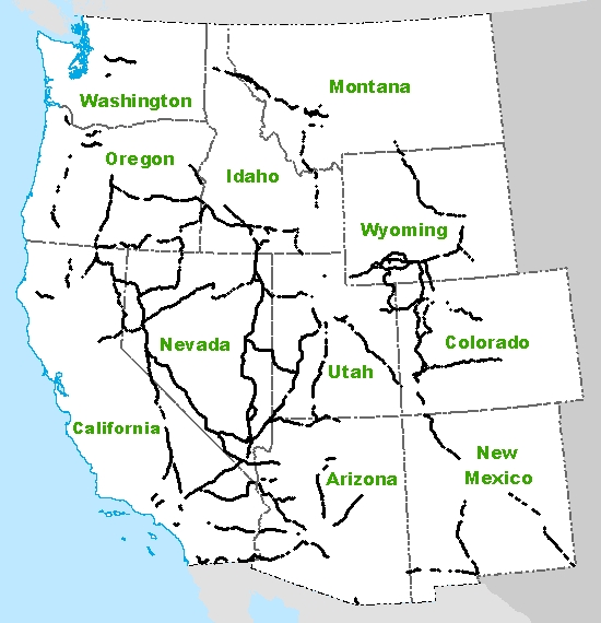
Follow the links below to view/download state base maps that show Section 368 corridors and the BLM, DoD, NPS, and USFS land and resource management plans to be amended in the eleven Western states. These maps also show state and Tribal lands, major topographic features, cities and towns, and major roads and highways. Select maps by clicking on the text links or the hyperlinked ("hot") index map below.
![]() The following documents are in PDF format, which requires the free Adobe Acrobat Reader. Note: Most users will already have Acrobat Reader software installed on their computers.
The following documents are in PDF format, which requires the free Adobe Acrobat Reader. Note: Most users will already have Acrobat Reader software installed on their computers.
View/Download Full Federal Land and Resource Management Plans to be Amended Map Set
 |
Full State Map Collection Includes all state maps in the Federal Land and Resource Management Plans to be Amended Base Map Set NOTE: Large file size/download time (55 MB) |
View/Download Individual Federal Land and Resource Management Plans to be Amended Base Maps
Note: Each map file contains two maps on two pages.
Need Help? Have Questions?
If you experience any problem downloading these files, need assistance, or have questions about the PEIS maps or mapping data, please contact the Webmaster at [email protected]